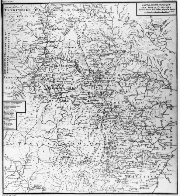
Печатный источник:Voyages … en differentes provinces de l’empire de Russie. Paris, Maradan, 1788 –93. “Carte mineralogique des Monts Ouralsks ” (atlas volume) Pallas, a German naturalist, was a member of the Royal Academy of Science at St. Petersburg. In 1768 he led an expedition to Siberia which lasted for six years, reaching as far eastward as Lake Baikal. The expedition studied the land, people, vegetable and animal life of the region, producing some excellent maps of the areas explored.